Recently, the drone aerial geophysical prospecting project team of the Shijiazhuang Nuclear Industry Aerial Survey and Remote Sensing Center used our company's multi-rotor drone high-precision low-altitude rapid magnetic survey system GTK-RM600 to carry out test flights in a high-speed rail tunnel construction survey project area in Shanxi.
The system uses a technical combination of a small optical pump magnetometer and a multi-rotor drone to achieve rapid deployment of the aeromagnetic measurement system and high-precision rapid measurement at low altitudes. For the first time, the drone aeromagnetic measurement system uses a miniaturized optically pumped magnetometer developed using MEMS technology. Under the conditions of achieving high-precision measurement, it greatly reduces the system volume and weight, and the system weight is reduced by more than 95% compared with traditional optically pumped magnetometer.
At the same time, the aeromagnetic system has the aeromagnetic compensation function of fixed-wing drone, and can also be mounted on a multi-rotor drone platform. Magnetostatic technology is used to integrate and modify the drone aeromagnetic system to greatly reduce the interference of the drone on the magnetic measurement system. In conjunction with the flight working mode of the multi-rotor drone platform, magnetic dynamic noise is still better than the first-level data standard. A survey line planning technology along the terrain has been developed to realize automatic measurement and flight for drone aeromagnetic operations, which can effectively avoid risk points and improve operation efficiency.
The project team used the drone aeromagnetic measurement system to carry out site selection survey of high-speed railway lines in the Taihang Mountains. It efficiently completed the measurement work under complex geological conditions in the mountainous area and obtained high-precision magnetic measurement data, which can accurately display ground magnetic anomalies, effectively reflecting fine geological structures, providing decision-making basis for engineering line design.
The drone aeromagnetic measurement system has the characteristics of flexible mobility, high efficiency, speed, precision and accuracy, low operating costs, and short production cycle. It can break through the limitations of natural conditions and human capabilities to a certain extent, and replace ground workers for long-distance (difficult to reach) and high-risk areas. It can perform flight missions under complex ground and meteorological conditions, achieving low-risk, low-cost and high-quality aerial geophysical measurement operations. Provide efficient and rapid technical equipment for geological prospecting, engineering survey and environmental survey work.
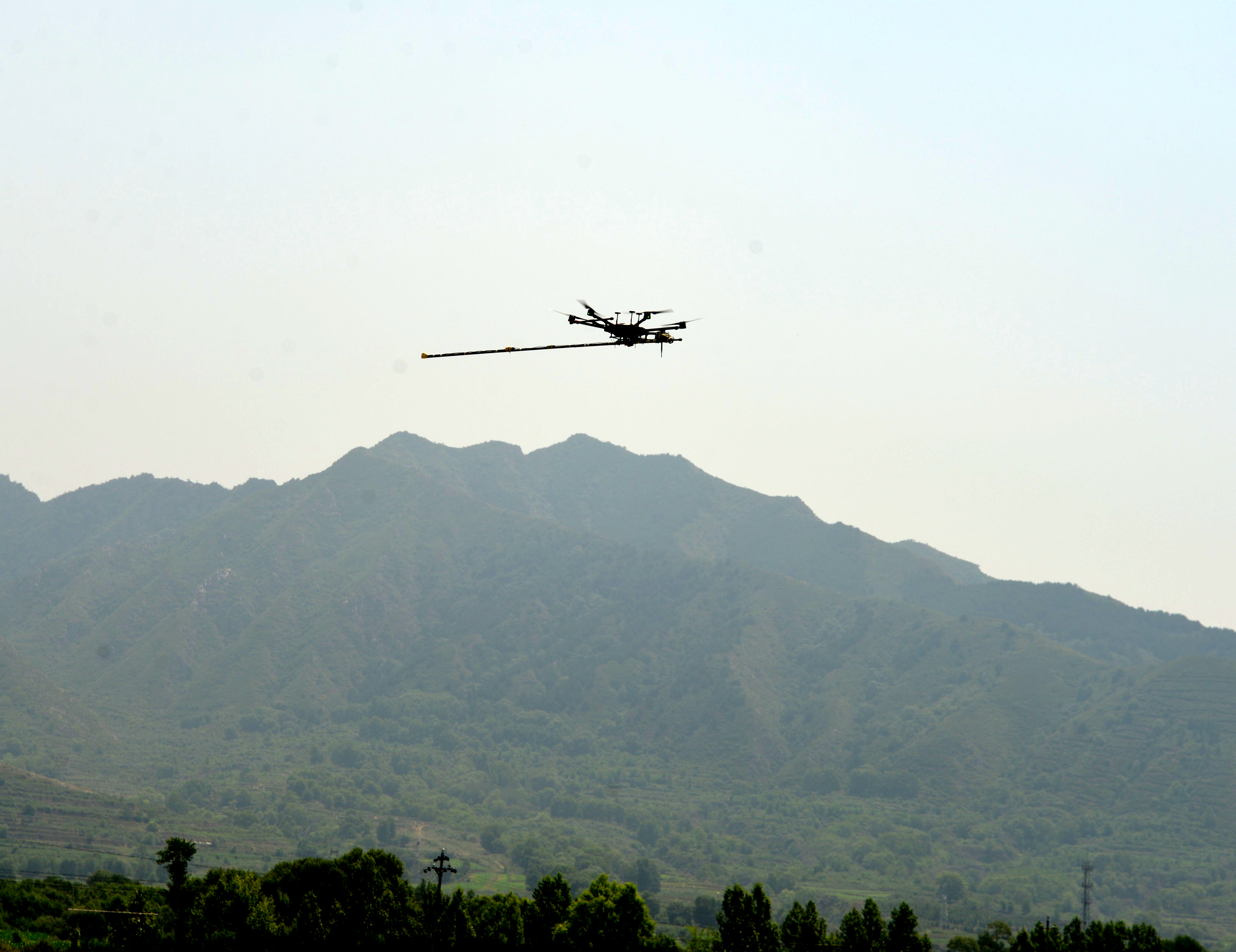
Flight photos of drone aeromagnetic measurement operations
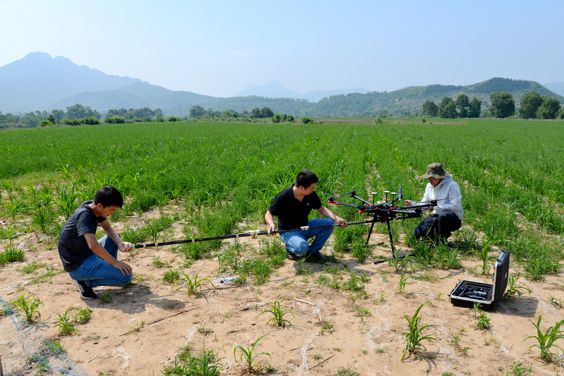
Photos of installation and debugging of drone aeromagnetic measurement system
