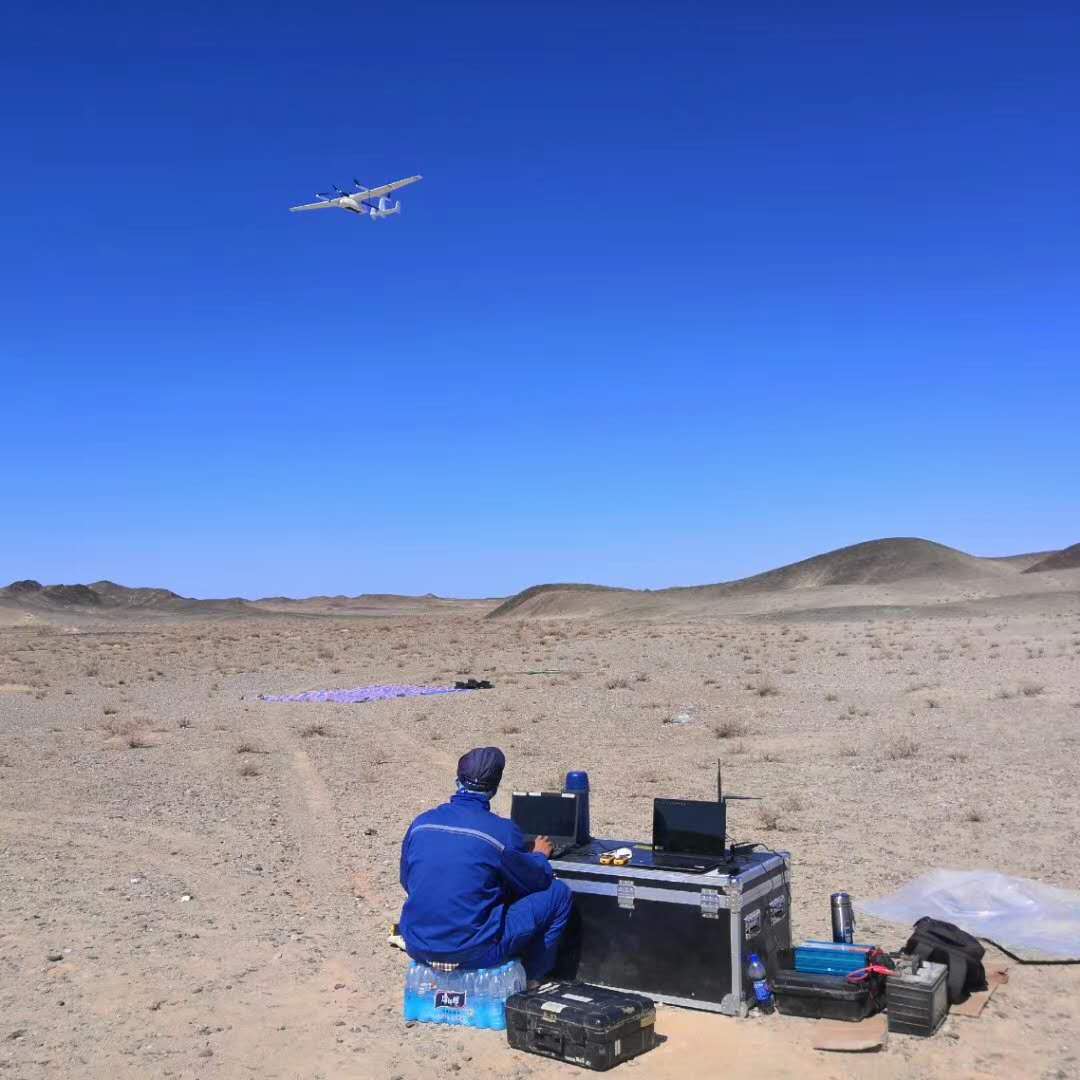
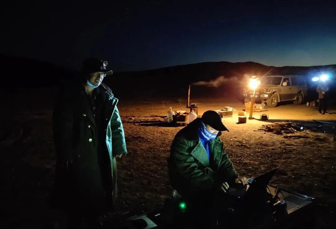
Recently, technicians from Jiataike (Shenzhen) Technology Co., Ltd. used our GTK-R15 vertical fixed-wing drone optical pump fluxgate aeromagnetic system to assist Zhengyuan Geophysical Co., Ltd.(a subsidiary of the Institute of Geophysical Exploration of the General Administration of Metallurgical Geology of China), the Surveying and Mapping Geographical Information Institute of the Center for Aerial Survey and Remote Sensing, and Hebei Jietai Detection Technology Co., Ltd., using the CW-15 of Chengdu Zongheng Dapeng UAV Technology Co., Ltd. as a platform to jointly carry out research and operations on drone aeromagnetic measurement technology in the Ejina Banner area of Inner Mongolia. Since the operation area is in the Gobi Desert, the journey is long and the wind and sand are heavy, in order to ensure the smooth implementation of the project, the project team actively prepared to carry out aerial survey data collection operations in the morning and evening periods, flying 700 survey line kilometers a day, and the data accuracy meets the requirements of the mission, and the data collection task is successfully completed. The aeromagnetic data and the ground magnetic survey results are consistent and verified each other.
As a "Verification and Demonstration Research on New Green Exploration Technology in the Inner Mongolia Autonomous Region" project, this project compares the aeromagnetic measurement results of low-altitude drones with existing ground high-precision magnetic measurement results, and combines the analysis of actual geological characteristics to verify the reliability and practicality of the GTK-R15 vertically raised fixed-wing drone optical pump fluxgate aeromagnetic system in desert and Gobi areas.
The development of this project has effectively filled the gap in the aeromagnetic service technology of small and medium-sized work areas and large-scale low-altitude unmanned aerial vehicle in the manned service technology of the Institute of Aeronautical Geophysical Exploration.